“The pandemic has driven a huge shift toward local home delivery of everything from groceries to alcohol – and RouteSavvy has been enhanced to provide more delivery management functionality – as well as just being even easier to use and deploy,” said Steve Milroy, president of OnTerra Systems.
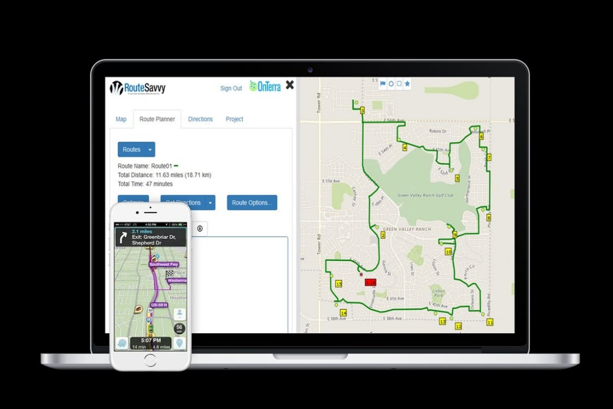
OnTerra Systems are the developers of RouteSavvy, a route planning software for small businesses. Recently they made a key upgrade to their software program — added functions for delivery management making the software easier to use.
New functions include:
New Route Cloning Function. Users have always been able to create new routes and edit existing routes. RouteSavvy’s new route cloning function is simply a faster way to create a new route based on cloning an existing route and then making additional changes.
Address Auto populate Function. RouteSavvy now offers a better address look-up function. Users can start typing the address of a new stop, and RouteSavvy automatically will suggest address options for users to choose based on their IP address and geographic location. RouteSavvy will provide a dropdown list of nearby options that can be chosen – speeding the process of adding individual addresses to a route.
Enhanced Route Line Display. RouteSavvy also features points of interest, i.e., landmarks that might require deliveries, pickups, sales calls, or service calls which don’t have a specific address. RouteSavvy can now display a route on top of territories, delivery radiuses, or other shapes on the map. This allows route planners to better determine if stops should be moved from one route to another because they can see whether a route is encompassed within one specific territory or if the route crosses into other territories.
Quick Zoom Function. When users add a new address into RouteSavvy for route planning, they can use a new function to zoom to that location on the map with one click.
Drive Distance & Drive Time Now Exportable. Once RouteSavvy has generated an optimized route, that route can either be printed & given to drivers or exported to a driver’s cell phone or tablet to be synched with a turn-by-turn navigation system. As part of the route export process, drive distance & drive time data now will be exported.
